Introduction
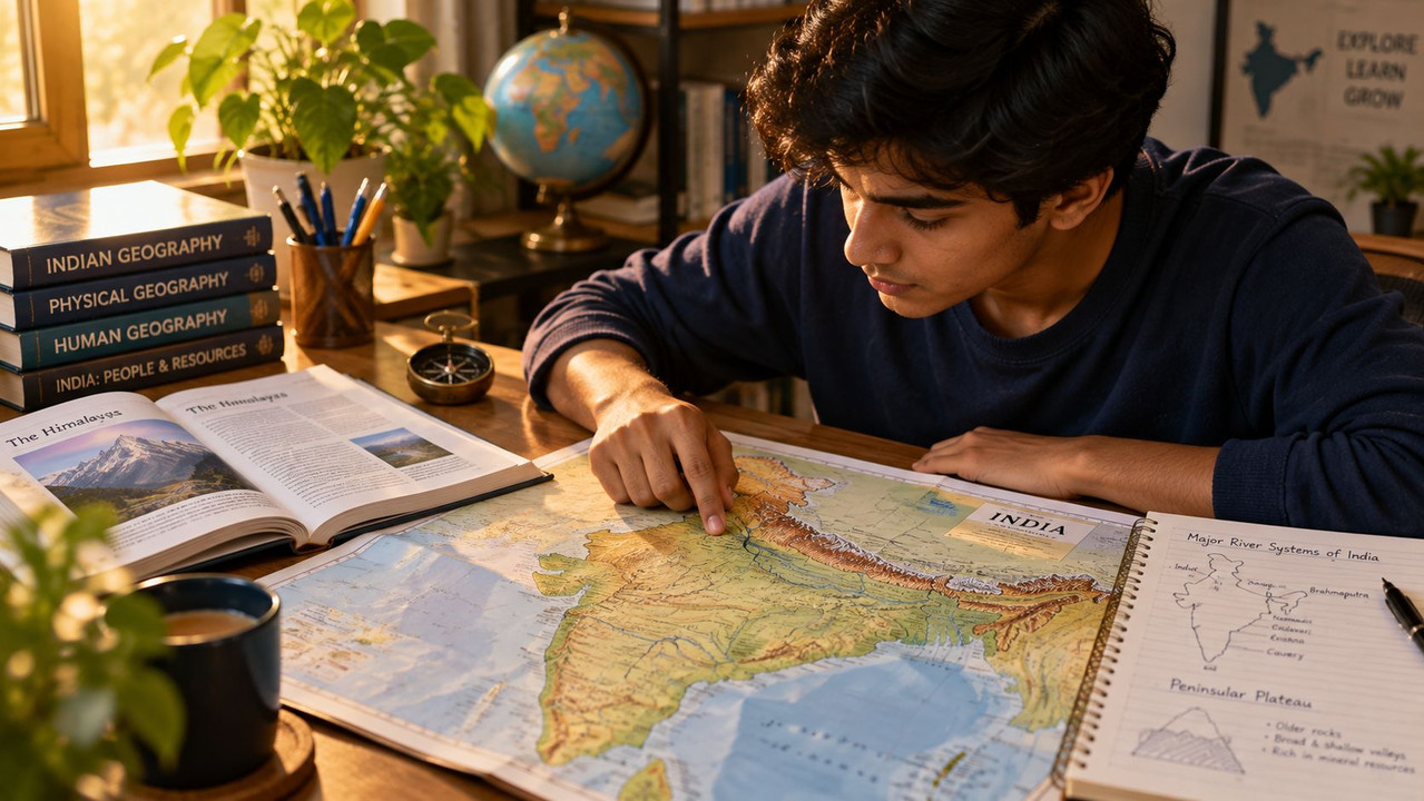
Indian Geography is one of the highest-weightage static GK sections across SSC, UPSC, Railway, Banking and State PSC exams, with questions repeating year after year on rivers, mountain passes, state capitals, protected areas and mineral belts. This guide brings together every major geography topic — rivers and dams, mountains and passes, states and capitals, national parks, wildlife sanctuaries, biosphere reserves, soils, crops, minerals, and important geographical locations — into one exam-focused reference, organised for quick revision and long-term recall.
Rivers & Dams
India's river systems are broadly divided into Himalayan rivers (perennial, snow-fed) and Peninsular rivers (seasonal, rain-fed).
Major Himalayan Rivers
- Ganga — originates at Gangotri Glacier (Gaumukh), Uttarakhand; joins the Bay of Bengal; India's longest river within its own territory
- Yamuna — originates at Yamunotri Glacier, Uttarakhand; largest tributary of the Ganga
- Brahmaputra — originates in Tibet (as Tsangpo); enters India through Arunachal Pradesh; known as Jamuna in Bangladesh
- Indus — originates near Lake Mansarovar, Tibet; flows through Ladakh and Pakistan
- Sutlej, Beas, Ravi, Chenab, Jhelum — the five rivers of Punjab (tributaries of the Indus system)
Major Peninsular Rivers
- Godavari — originates at Trimbakeshwar, Maharashtra; called the "Dakshin Ganga"; largest peninsular river
- Krishna — originates at Mahabaleshwar, Maharashtra
- Kaveri (Cauvery) — originates at Talakaveri, Karnataka; flows through Tamil Nadu into the Bay of Bengal
- Narmada — originates at Amarkantak, Madhya Pradesh; flows westward into the Arabian Sea (rift valley river)
- Tapi (Tapti) — also flows westward into the Arabian Sea, parallel to the Narmada
- Mahanadi — originates in Chhattisgarh; flows through Odisha
Major Dams
| Dam | River | State |
|---|---|---|
| Bhakra Nangal | Sutlej | Himachal Pradesh/Punjab border |
| Tehri Dam | Bhagirathi | Uttarakhand (India's tallest dam) |
| Sardar Sarovar | Narmada | Gujarat |
| Hirakud Dam | Mahanadi | Odisha (world's longest earthen dam) |
| Nagarjuna Sagar | Krishna | Telangana/Andhra Pradesh |
| Mettur Dam | Kaveri | Tamil Nadu |
| Indira Sagar | Narmada | Madhya Pradesh |
| Rihand Dam | Rihand | Uttar Pradesh |
Mountains & Passes
Major Mountain Ranges
- Himalayas — divided into Greater Himalayas (Himadri), Lesser Himalayas (Himachal) and Outer Himalayas (Shiwaliks)
- Aravalli Range — oldest fold mountain range in India, running through Rajasthan; Guru Shikhar (Mount Abu) is its highest peak
- Vindhya Range — separates North India from Peninsular India
- Satpura Range — runs parallel to the Vindhyas, south of the Narmada
- Western Ghats (Sahyadri) — run along India's west coast; a UNESCO World Heritage Site and biodiversity hotspot
- Eastern Ghats — run along India's east coast, discontinuous and lower than the Western Ghats
Important Mountain Passes
| Pass | Location | Significance |
|---|---|---|
| Khyber Pass | Pakistan-Afghanistan border | Historic invasion route into India |
| Nathu La | Sikkim | Connects India to Tibet (China); trade route |
| Zoji La | Jammu & Kashmir/Ladakh | Connects Srinagar Valley to Ladakh |
| Rohtang Pass | Himachal Pradesh | Connects Kullu Valley to Lahaul-Spiti |
| Shipki La | Himachal Pradesh | Border pass with Tibet; Sutlej enters India here |
| Bomdi La | Arunachal Pradesh | Strategic pass near the China border |
| Palghat (Palakkad) Gap | Kerala/Tamil Nadu | Natural gap in the Western Ghats |
States & Capitals
India has 28 states and 8 union territories. Key exam-relevant points:
- Largest state by area: Rajasthan
- Smallest state by area: Goa
- Most populous state: Uttar Pradesh (capital: Lucknow)
- State with the longest coastline: Gujarat
- Newest state: Telangana (formed 2 June 2014, capital: Hyderabad)
- Only state with three capitals (administrative, legislative, judicial): Andhra Pradesh (Amaravati, Visakhapatnam, Kurnool contexts have varied by policy)
- Landlocked states bordering the most neighbouring countries: Sikkim (China, Nepal, Bhutan)
- Union Territories with a legislature: Delhi, Puducherry, Jammu & Kashmir
Frequently confused capital pairs to remember:
- Karnataka → Bengaluru (not Bangalore, officially renamed 2014)
- Chhattisgarh → Raipur
- Jharkhand → Ranchi
- Uttarakhand → Dehradun (winter capital; Gairsain is a proposed summer capital)
- Himachal Pradesh → Shimla (summer); Dharamshala (winter capital, declared 2017)
National Parks
India has over 100 national parks. Key ones frequently tested:
- Jim Corbett National Park (Uttarakhand) — India's first national park (1936), known for Bengal tigers
- Kaziranga National Park (Assam) — UNESCO World Heritage Site, famous for the one-horned rhinoceros
- Sundarbans National Park (West Bengal) — largest mangrove forest, home to the Royal Bengal Tiger
- Gir National Park (Gujarat) — only natural habitat of the Asiatic lion
- Bandipur National Park (Karnataka) — part of the Nilgiri Biosphere Reserve
- Ranthambore National Park (Rajasthan) — known for tiger conservation
- Kanha National Park (Madhya Pradesh) — inspiration for Rudyard Kipling's "The Jungle Book"
- Silent Valley National Park (Kerala) — one of the last undisturbed tropical evergreen forests in India
- Hemis National Park (Ladakh) — largest national park in India, known for snow leopards
Wildlife Sanctuaries
- Periyar Wildlife Sanctuary (Kerala) — elephant and tiger reserve around Periyar Lake
- Bharatpur (Keoladeo) Bird Sanctuary (Rajasthan) — major wintering ground for migratory birds, UNESCO site
- Wild Ass Sanctuary (Gujarat, Little Rann of Kutch) — only habitat of the Indian wild ass
- Chilika Wildlife Sanctuary (Odisha) — around Asia's largest brackish water lagoon
- Great Himalayan National Park (Himachal Pradesh) — UNESCO World Heritage Site
- Manas Wildlife Sanctuary (Assam) — UNESCO site, tiger and elephant reserve
Biosphere Reserves
India has 18 Biosphere Reserves, of which several are also part of UNESCO's World Network of Biosphere Reserves.
| Biosphere Reserve | State(s) |
|---|---|
| Nilgiri | Tamil Nadu, Kerala, Karnataka (first declared, 1986) |
| Sundarbans | West Bengal |
| Nanda Devi | Uttarakhand |
| Gulf of Mannar | Tamil Nadu |
| Nokrek | Meghalaya |
| Pachmarhi | Madhya Pradesh |
| Similipal | Odisha |
| Achanakmar-Amarkantak | Chhattisgarh, Madhya Pradesh |
| Great Nicobar | Andaman & Nicobar Islands |
| Agasthyamalai | Kerala, Tamil Nadu |
Soils, Crops and Minerals
Major Soil Types
- Alluvial soil — most widespread; found in the Indo-Gangetic plains; ideal for wheat, rice, sugarcane
- Black soil (Regur soil) — found in the Deccan Plateau (Maharashtra, MP, Gujarat); ideal for cotton cultivation, hence also called "black cotton soil"
- Red soil — found in Tamil Nadu, Karnataka, parts of Odisha and Chhattisgarh; rich in iron oxide
- Laterite soil — found in high-rainfall areas like Kerala, Karnataka's coastal belt; used for tea, coffee, cashew
- Arid/Desert soil — found in Rajasthan; low fertility, high salinity
- Mountain/Forest soil — found in Himalayan region; supports forest vegetation
Major Crops and Leading States
| Crop | Leading Producer State |
|---|---|
| Rice | West Bengal |
| Wheat | Uttar Pradesh |
| Sugarcane | Uttar Pradesh |
| Cotton | Gujarat |
| Tea | Assam |
| Coffee | Karnataka |
| Jute | West Bengal |
| Pulses | Madhya Pradesh |
Major Minerals and Leading States
| Mineral | Leading Producer State |
|---|---|
| Iron ore | Odisha |
| Coal | Jharkhand |
| Bauxite | Odisha |
| Manganese | Odisha |
| Mica | Andhra Pradesh |
| Copper | Madhya Pradesh |
| Gold | Karnataka (Kolar Gold Fields, historically) |
| Petroleum | Rajasthan (leading onshore) |
Important Geographical Locations
- Tropic of Cancer — passes through 8 Indian states: Gujarat, Rajasthan, Madhya Pradesh, Chhattisgarh, Jharkhand, West Bengal, Tripura, Mizoram
- Standard Meridian of India — 82.5° E longitude, passing through Mirzapur (Uttar Pradesh); Indian Standard Time is calculated from here
- Southernmost point of India — Indira Point, Great Nicobar Island
- Northernmost point — Indira Col, Ladakh (Siachen Glacier region)
- Highest peak in India — Kangchenjunga (Sikkim), the highest peak entirely within India (K2 is higher but lies in Pakistan-administered territory)
- Largest lake in India — Wular Lake (Jammu & Kashmir), freshwater; Chilika Lake (Odisha) is the largest brackish water lake
- Deepest port in India — Vishakhapatnam Port
- Radcliffe Line — border between India and Pakistan
- McMahon Line — border between India and China (Arunachal Pradesh sector)
- Durand Line — border between Pakistan and Afghanistan (frequently confused with India's borders in exams)
Frequently Asked Questions
Q1. Which is India's longest river, and where does it originate?
The Ganga is India's longest river flowing entirely within the country, originating at the Gangotri Glacier (Gaumukh) in Uttarakhand and flowing into the Bay of Bengal. The Brahmaputra and Indus are longer overall but flow through multiple countries.
Q2. Which state has the most national parks in India?
Madhya Pradesh has the highest number of national parks among Indian states, including Kanha, Bandhavgarh, Pench and Satpura, making it a frequently tested state in wildlife-related GK questions.
Q3. What is the difference between a national park and a wildlife sanctuary?
A national park has stricter legal protection with no human activity, grazing or private land rights permitted inside its boundaries, while a wildlife sanctuary allows some regulated human activity such as grazing or resource collection. Both fall under India's Wildlife Protection Act, 1972, but national parks have a higher protection status.
Q4. Why is black soil also called "regur soil," and where is it mainly found?
Black soil is called "regur soil," a term derived from its dark colour caused by high iron and aluminium content from Deccan Trap volcanic rock; it is mainly found across the Deccan Plateau in Maharashtra, Madhya Pradesh, Gujarat and parts of Karnataka. It retains moisture well, making it particularly suited to cotton cultivation.
Q5. Which mountain pass connects India to Tibet and is used for the Kailash Mansarovar Yatra route?
Nathu La in Sikkim and Lipulekh Pass in Uttarakhand are both important passes connecting India to Tibet, with Nathu La also serving as a trade route between India and China. Lipulekh is specifically used as one of the traditional pilgrimage routes for the Kailash Mansarovar Yatra.
Get Instant Government Job Alerts
Never miss a notification, admit card, or result. Join our free channels for daily sarkari naukri updates delivered straight to your phone:
- 💬 WhatsApp Channel: Join Now
- 📢 Telegram Channel: Join @govtjobsiojobs



Leave a Reply
Be the first to comment.